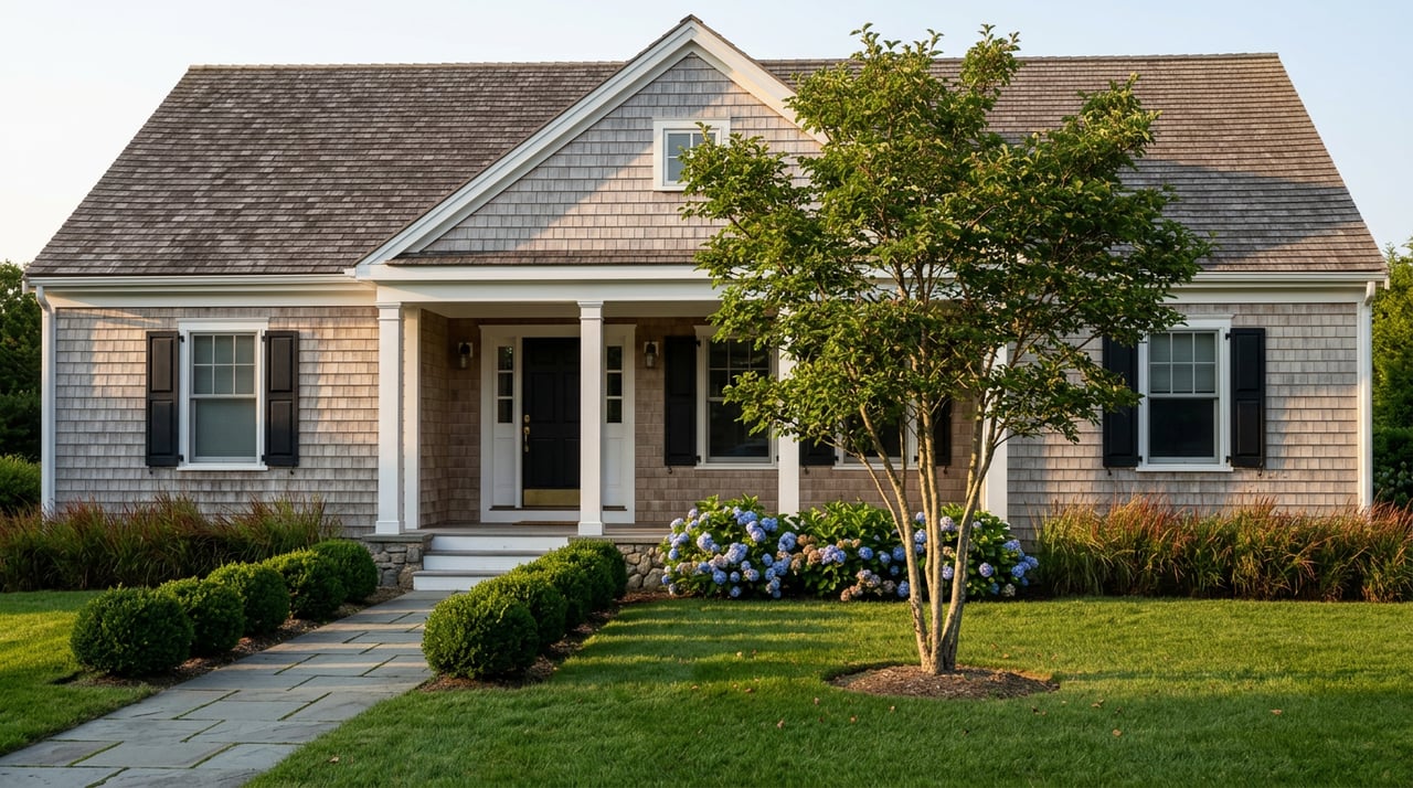
Kingston's Train Station Now Has Two Zoning Codes, and Only One Shows Up in the Listing
September 10, 2026
September 10, 2026
If two Kingston listings both promise walking distance to the train, are they promising the same thing? As of a contentious November 2024 special town meeting, the honest answer is no. The state's MBTA Communities Law forced Kingston to redraw part of its zoning map around the commuter rail stop on Marion Drive, and the line it drew runs through the middle of a question most buyers never think to ask.
For anyone comparing South Shore towns right now, that line matters more than the median price on the portals, because it tells you something the median can't: what's legally allowed to change near the station, and what isn't.
Massachusetts passed the MBTA Communities Law in 2021, requiring every one of the state's 177 MBTA-served communities to zone for multifamily housing near transit as a matter of right, meaning without a discretionary permit process standing in the way. The law doesn't force anyone to build. It forces a town to make building legal in a defined area, whether or not it ever happens.
Kingston's version of that fight played out at a special town meeting where residents voted 192 to 167 to establish the new district after what local coverage described as a heated debate over impacts to schools and infrastructure. That margin, 25 votes out of nearly 360 cast, is close enough that it's worth remembering this wasn't a formality. Towns that don't comply risk losing eligibility for several state grant programs, and a January 2025 state supreme court ruling in a case brought against the town of Milton confirmed the attorney general can pursue enforcement against holdouts. Kingston complied. Not every town has, or has done so at the same scale.
The resulting overlay, which the town's own bylaw calls the MBTA Communities Multi-family Overlay District, requires a zone of at least 50 acres within roughly half a mile of the Kingston commuter rail stop, sized to hold at least 805 housing units at a minimum density of 15 units per acre. That's a floor set by the state, not a construction order. Nothing requires a developer to actually build 805 units. The zoning simply has to make it possible.
The part that changes the market isn't the number. It's what the district removes.
Inside the MCMOD, residential projects are specifically exempted from the special permit process that governs residential development everywhere else in town.
That single exemption is the real mechanism. A special permit is the town's main discretionary lever, the public hearing where abutters raise concerns and a board can shape or slow a project. Outside the half-mile radius, that lever still exists. Inside it, for the first time in Kingston's zoning history, it doesn't. A qualifying multifamily project near the station moves through site plan review, not a hearing where the outcome depends on who shows up.
This is the detail that gets lost when people talk about Kingston as if the whole town just got rezoned. It didn't. The overlay is anchored to the station itself, which sits inland along the Route 3 corridor, and in practice it reaches into Kingston Center and the immediate depot area far more than it reaches the coastal villages that define much of the town's character, places like Rocky Nook, the roughly 900-home peninsula where the Jones River meets the Atlantic and where Gray's Beach draws swimmers every summer. The Cape and ranch stock that fills those older waterfront streets is still governed by the same special permit process it always was.
That's a useful thing to know if you're comparing neighborhoods inside Kingston, not just comparing Kingston to Duxbury or Pembroke. Two homes marketed with nearly identical language, minutes to the train, close to Route 3, can sit on opposite sides of a real regulatory boundary. One is inside a zone where multifamily redevelopment now clears a lower legal bar. The other isn't. The exact parcels affected are mapped with the Town Clerk's office and the Planning Board, and if a specific address's status matters to your decision, that's worth confirming before you write an offer, not after.
It's also not as if multifamily housing was foreign to this stretch of town before the vote. Kingston already had modest multi-unit stock scattered near the depot, and it's not unusual to see a legacy three-family listed within a few minutes of the station. What the overlay changes isn't whether density can exist there. It's how much friction stands between someone wanting to add more of it and actually being allowed to.
This isn't settled history. Kingston's Annual Town Meeting warrant for June 2026, three months before this writing, included further amendments to the MCMOD language, including a correction to how the bylaw references single-family detached dwellings within the district and a fix to a scrivener's error in an unrelated overlay's abbreviation. Small edits, but they show the town is still actively legislating the fine print of this district, not treating it as finished business from 2024.
That matters for anyone weighing a purchase near the station on a multi-year horizon. The core requirement, the 50 acres and the 805-unit floor, comes from the state and isn't going anywhere. The local implementation details, setbacks, parking ratios, sign plans, are still being adjusted at town meeting as recently as this summer. A buyer evaluating a property inside the overlay should expect the rules around it to keep getting refined, not to stay frozen at whatever they read in a listing description today.
Here's where the portal data gets genuinely unhelpful. Depending on which listing site you check, Kingston's median sale price recently reads anywhere from the mid $500,000s to over $700,000, with the gap driven by differences in how each site defines "recent" and whether it's tracking list price or closed sale price. That spread alone should tell you the single number isn't carrying the story. What's actually happening in Kingston right now is a structural change in how a specific half-mile of the town gets developed, and that change doesn't show up in a median at all.
Kingston isn't unusual in this respect. As of spring 2025, roughly three-quarters of the state's 177 MBTA-served communities had adopted some form of compliant multifamily zoning, meaning this exact question, is the area near the train station inside a by-right overlay or still under the old rules, applies across a growing list of South Shore-adjacent towns, not just Kingston. If you're comparing towns based on proximity to a commuter rail stop, this is now a fair question to ask everywhere, not a Kingston-specific quirk.
A few things worth confirming before you compare listings on "walk to the train" alone:
Does this affect single-family homes outside the half-mile line? Not directly. Properties outside the mapped overlay continue under Kingston's standard permitting process, unchanged by this vote.
Does the new zoning mean apartments are being built near the station right now? Not necessarily. The law requires the town to make multifamily development legally possible at a minimum scale. It doesn't require anyone to build it, and no construction timeline is guaranteed by the zoning alone.
Where exactly does the district end? The overlay is defined as roughly a half mile from the Kingston commuter rail stop, with the precise parcel map on file with the Town Clerk and Planning Board.
Reading a Kingston listing well now means reading past the walk score and into the zoning map underneath it. That's the kind of detail that's easy to miss from a portal search and easy to miss on a first drive-through, and it's exactly the sort of local groundwork Kornerstone Real Estate Brokerage handles before a client ever writes an offer. If you're weighing a property near the Kingston line, or trying to figure out what a half-mile really means for a house you've already fallen for, schedule a complimentary Koncierge consultation and we'll walk the map with you.
Stay up to date on the latest trends in real estate.
September 17, 2026
September 10, 2026

September 3, 2026
September 3, 2026
August 27, 2026

August 20, 2026
August 13, 2026
August 6, 2026
July 23, 2026
Let us learn more about how I can help. My goal is to be your Real Estate Consultant for Life!